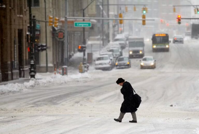
Winter weather incoming as forecast suddenly shifts – Winter may be approaching faster than many people expected. A sudden change in weather forecasts is putting cold air, falling temperatures, and the possibility of snow back into the conversation, raising questions about whether parts of Europe and the United Kingdom could experience a more wintry November than originally anticipated.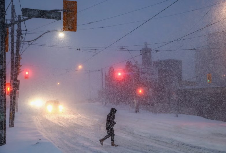
The latest concern centres on changes in the atmosphere high above the Arctic. Meteorologists are watching the polar vortex, a large circulation of cold air that normally helps keep the coldest Arctic conditions contained near the North Pole. If this circulation weakens or becomes disrupted, colder air can sometimes move farther south, increasing the chances of unusually chilly weather.
However, a forecast shift does not mean widespread snowfall is guaranteed. Weather patterns remain complicated, and the timing, strength, and location of any cold outbreak are still uncertain. What makes the developing situation interesting is that a relatively unusual atmospheric event could influence forecasts well beyond the immediate weather outlook. For people hoping for an early taste of winter, the changing forecast offers a reason to pay attention. For others, it is a reminder to prepare for colder conditions without assuming that every prediction will become reality. Winter weather incoming as forecast suddenly shifts
Why meteorologists are watching the polar vortex
The polar vortex is a large area of low pressure and cold air circulating high above the Arctic. It is a normal part of the atmosphere during the colder months, helping keep much of the Arctic’s frigid air concentrated around the North Pole. When the vortex is strong and stable, the coldest air tends to remain farther north. When it weakens or becomes disrupted, however, the atmospheric circulation can change. This sometimes allows Arctic air to travel farther south, exposing parts of Europe and North America to colder conditions.
One possible consequence is a phenomenon known as sudden stratospheric warming (SSW). Despite its name, this event does not necessarily mean warmer weather at ground level. It describes a rapid temperature increase in the stratosphere, often accompanied by a weakening or reversal of the strong winds surrounding the polar vortex. If the disruption influences the weather patterns below, it can weaken the jet stream or encourage atmospheric blocking. These changes may create opportunities for cold air to move into regions that would otherwise experience milder conditions.
The timing is what makes the current discussion unusual. Forecast reports have highlighted the possibility of an unusually early disruption in November, with late November 1968 cited as the earliest known previous occurrence of an SSW. However, an early forecast signal does not confirm that a major event will develop.
The Sun+1
Could the United Kingdom see snow in November?
The possibility of colder air moving south has brought the United Kingdom into the spotlight. If high pressure becomes established to the north or northeast of Britain, colder easterly winds could move across the country.
Such a pattern can bring chilly, relatively dry air and increase the possibility of sleet or snow showers, particularly in eastern areas. A different arrangement involving northerly winds could draw Arctic air southward, creating opportunities for wintry showers, icy conditions, and snowfall.
That does not mean every part of Britain should expect snow. Conditions can vary considerably between coastal areas, higher ground, and inland communities. Elevation is especially important because colder air and precipitation can combine to produce snow on hills while lower areas receive rain or sleet.
The distinction between a possibility and a confirmed forecast is important. Meteorologists may identify atmospheric conditions that favour snow several days or weeks ahead, but predicting exactly where it will fall requires much more precise information about temperature, wind direction, and precipitation. For now, the developing pattern is a reason to monitor forecasts rather than assume that a nationwide snow event is on the way.
El Niño adds another layer of uncertainty
The developing winter pattern is not being influenced by the polar vortex alone. El Niño is also expected to play an important role in shaping weather conditions during the coming months. El Niño occurs when surface waters in parts of the tropical Pacific Ocean become unusually warm, influencing atmospheric circulation around the world. Its effects vary by region, but it can shift the position of the jet stream and change the distribution of storms and rainfall.
The National Oceanic and Atmospheric Administration has identified El Niño as a major influence on its 2026–2027 winter outlook for the United States. Its forecast favours warmer-than-average temperatures across much of the northern United States, while wetter conditions are more likely across the southern states and along the East Coast.
This broader pattern is one reason forecasters are being cautious about predicting a consistently cold winter. El Niño can favour certain weather patterns, but it does not prevent individual Arctic outbreaks or guarantee that every region will experience the same conditions.
The possible interaction between El Niño and a weakening polar vortex makes longer-range predictions particularly challenging. Different atmospheric influences can compete with one another, changing the expected outcome as new observations become available.
National Oceanic and Atmospheric Administration+1
What about winter weather in the United States?
The United States is also facing an interesting winter outlook, although the expected pattern is not simply one of widespread freezing temperatures.
NOAA’s seasonal forecast for December 2026 through February 2027 favours above-average temperatures across much of the northern United States, including the Pacific Northwest, Midwest, Mississippi Valley, and large parts of the East. Parts of the Southeast are more likely to experience near-normal temperatures.
Precipitation is expected to be above average across much of the southern United States, extending from the Southwest toward the Southeast and along the East Coast. Meanwhile, some areas of the northern Rockies and Great Lakes have an increased chance of drier-than-average conditions.
That does not rule out snowstorms. Seasonal forecasts describe broad probabilities over several months, not the exact timing or location of individual storms. A region expected to have a warmer-than-average winter can still experience a powerful cold spell or significant snowfall.
NOAA also explains that seasonal outlooks cannot reliably predict total snowfall months in advance. Snow forecasts become more useful closer to an individual weather event, generally within about a week.
National Oceanic and Atmospheric Administration
Why forecasts can change so suddenly
Weather forecasting involves analysing enormous amounts of atmospheric information. Computer models use observations from satellites, weather stations, balloons, ocean instruments, and other sources to estimate how conditions may develop.
For longer-range forecasts, small differences in the initial atmospheric conditions can produce very different outcomes. This is especially true when meteorologists are tracking complex systems such as the polar vortex, jet stream, and large areas of high and low pressure.
A forecast that initially suggests mild conditions can change when newer model runs indicate a possible disruption to the normal circulation. The reverse can happen too: an early cold-weather signal may weaken as additional data becomes available.
This is why meteorologists often compare several models instead of relying on one prediction. Agreement between different forecasting systems can increase confidence, while conflicting results signal that the situation needs further monitoring.
For the public, this means that dramatic headlines about incoming snow should always be considered alongside official forecasts and local weather warnings.
How to prepare for an early cold spell
Even without confirmation of widespread snowfall, preparing for colder weather is sensible as winter approaches. Households can begin by checking heating systems, inspecting windows and doors for drafts, and making sure warm clothing is accessible.
Drivers should also pay attention to changing road conditions. A sudden drop in temperature can create icy surfaces, particularly overnight and during early mornings. Checking tyre condition, keeping basic emergency supplies in the vehicle, and allowing additional travel time can help reduce unnecessary risks.
People living in areas that regularly experience snow should also monitor local warnings and make sure outdoor paths are safe. Ice can be just as disruptive as heavy snowfall, especially around homes, workplaces, and public transport routes.
The most useful source of information remains the national or local weather service. In the United Kingdom, that means checking the Met Office, while people in the United States can follow updates from the National Weather Service. Winter weather incoming as forecast suddenly shifts
Winter could arrive earlier, but uncertainty remains
The sudden shift in attention toward colder weather has certainly made the November forecast more interesting. The possibility of an early polar vortex disruption has raised the prospect of Arctic air moving south, potentially increasing the risk of frost, sleet, and snow in parts of Europe and the United Kingdom. However, the atmosphere has not yet provided a guarantee of widespread winter conditions. The influence of El Niño, changes in the jet stream, and uncertainty surrounding the possible stratospheric warming event all make the longer-range outlook difficult to pin down. Winter weather incoming as forecast suddenly shifts
For now, the most realistic expectation is that weather patterns could become more changeable, with colder spells possible even if the broader winter outlook remains relatively mild in some regions. The coming forecasts will be important. If the polar vortex weakens significantly and the resulting circulation changes reach the lower atmosphere, winter weather could become a more immediate concern. Until then, keeping an eye on official updates is the best way to separate genuine weather risks from speculation.
About the Author